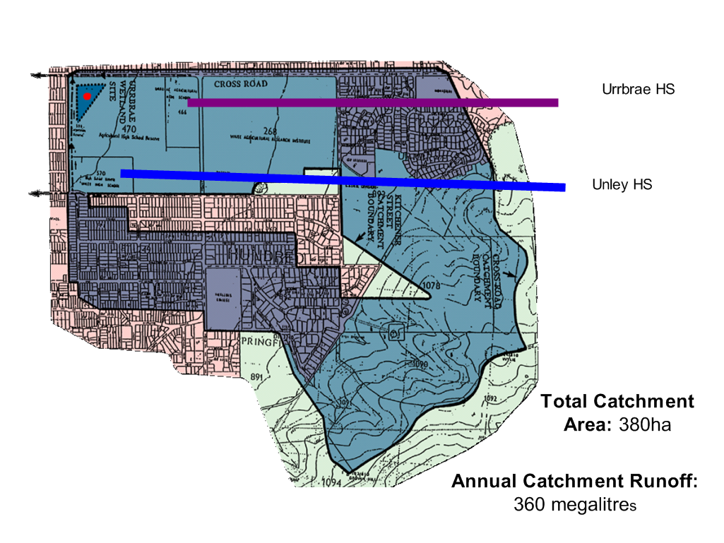
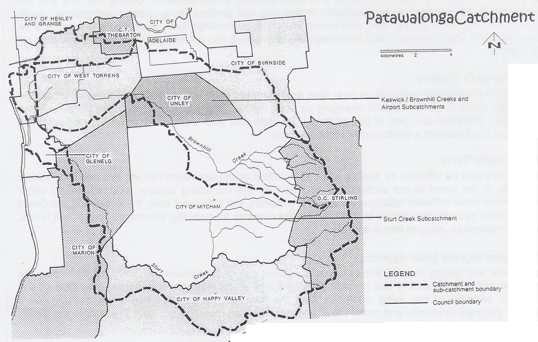
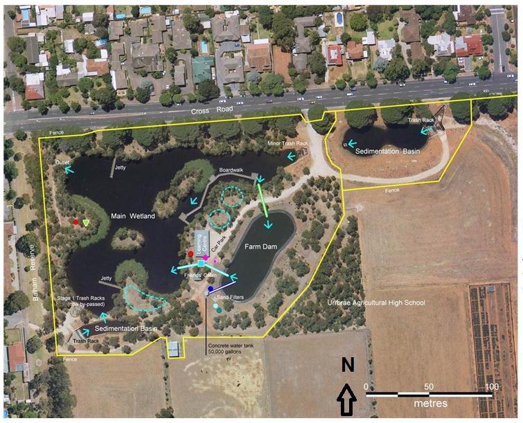
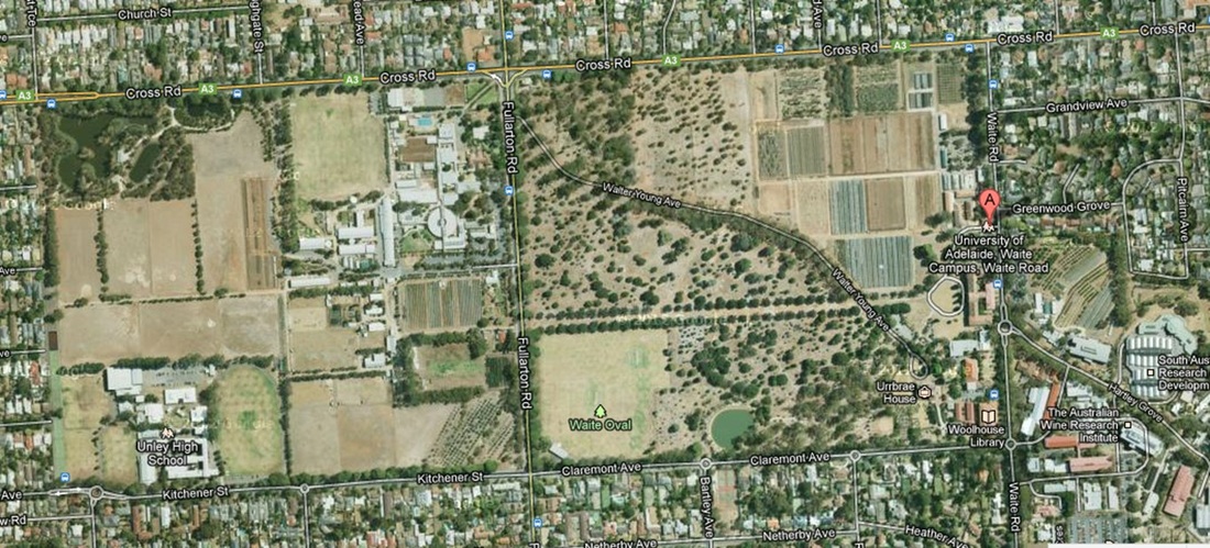
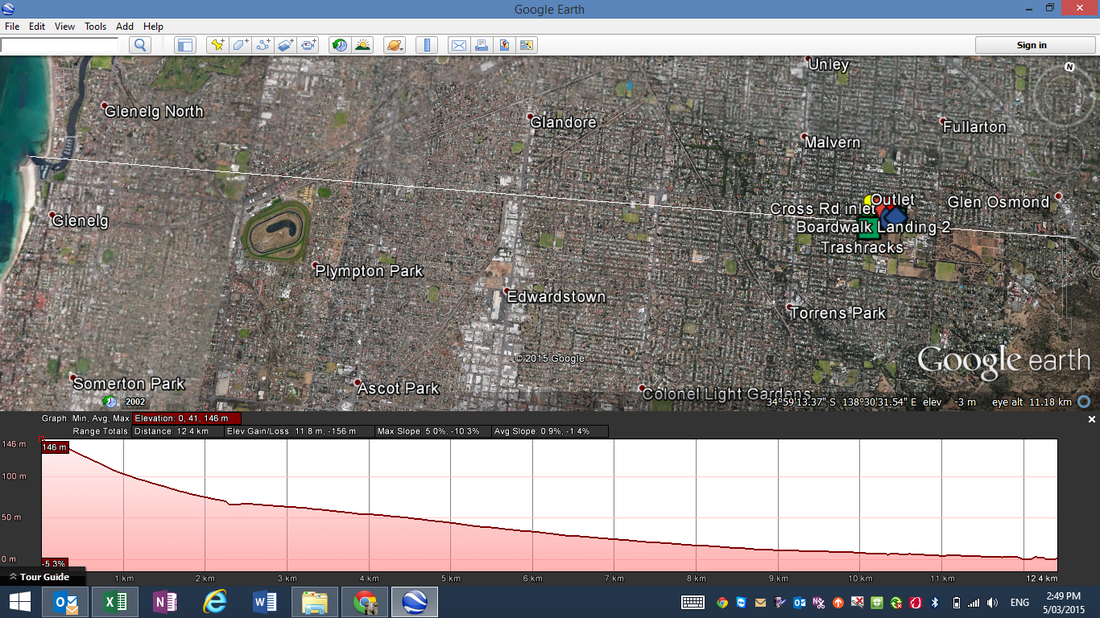
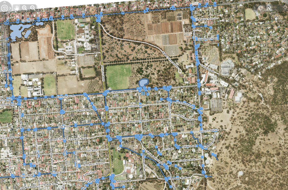
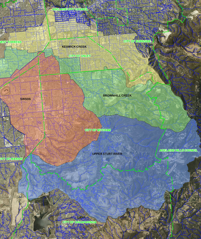
Below is a series of maps of the original Wetland design, Urrbrae and its catchment, the storm pipe systems that feeds into the Urrbrae Wetland and an elevation map.
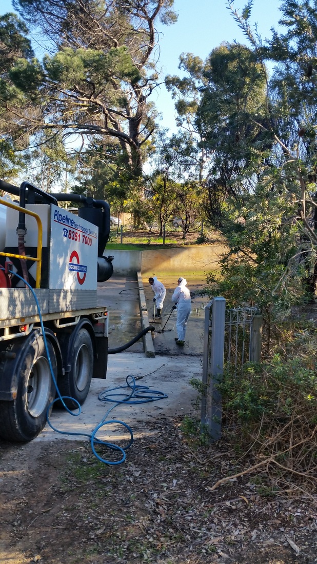
Sewage Clean Up
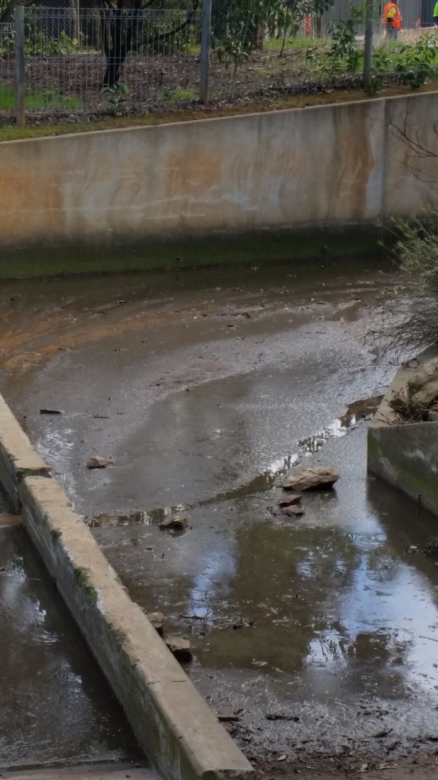
Following an accident at the Toll Gate at the end of the South-Eastern Free Way involving a sewage truck,a considerable amount of raw sewage made its way down the storm water pipes and to the Urrbrae Wetland.
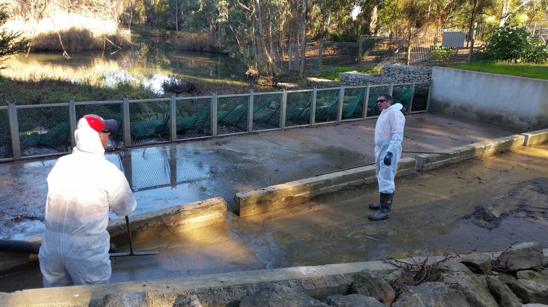
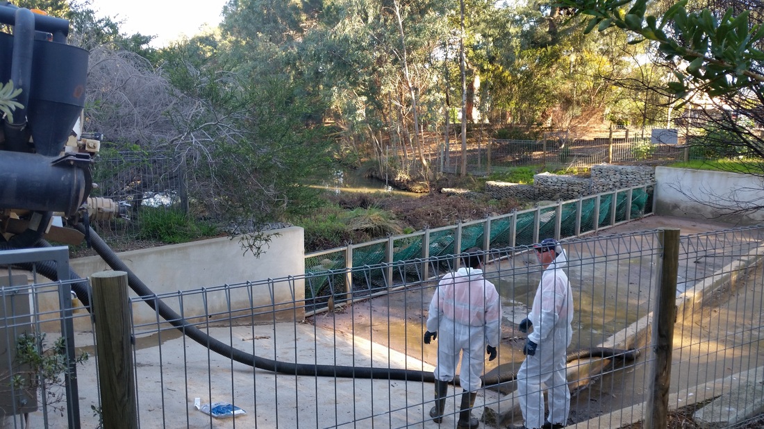
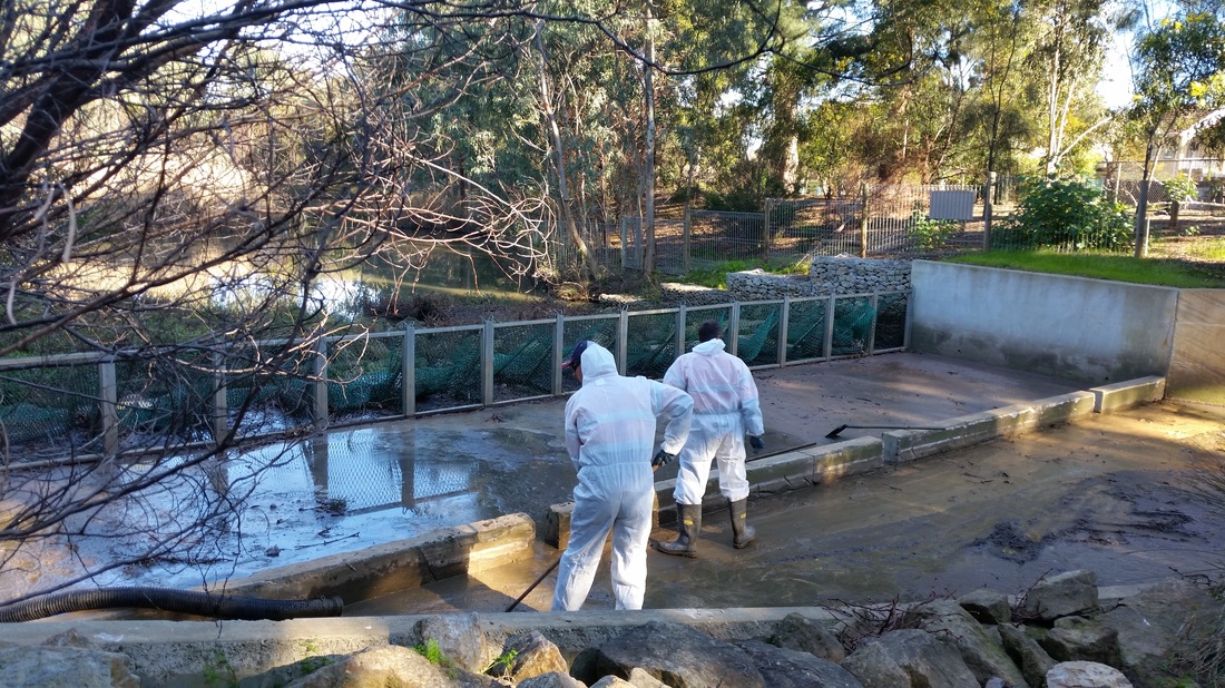
We were fortunate enough to keep the waste in the cemented area at the Cross Road Inlet, which allowed crews to come an pump the sewage out.
A series of these were then undertaken to ensure the cleanliness of the water.
Australian Groundwater Technologies (AGT) has been engaged by the City of Mitcham Council to monitor two wells at the Urrbrae Wetland. Monitoring occurs in September and March, with the aim of detecting possible leaks in the clay liner
Background: The shallow groundwater system beneath the Urrbrae Wetland is monitored in conjunction with the wetland to identify possible leakage from captured stormwater, into the shallow aquifers. This monitoring has been undertaken since 1996 at two wells: - East Well: lies to the east of the wetland and is a shallow Quaternary Aquifer. - West Well: lies to the west of the wetland and is a perched water table aquifer positioned above Hindmarsh Clay (this is usually a dry well) Two other monitored wells nearby provide independent data form shallow aquifers, which is used in comparison with the Urrbrae wetland data to identify trends and changes in data to detect possible leaks.
The report released to the City of Mitcham is below.
Part of the monitoring completed at the Urrbrae Wetland is the physical and chemical testing of water to determine water quality. Many schools are involved in this process, below is a file containing the raw data for 2016.
Your browser does not support viewing this document. Click here to download the document.
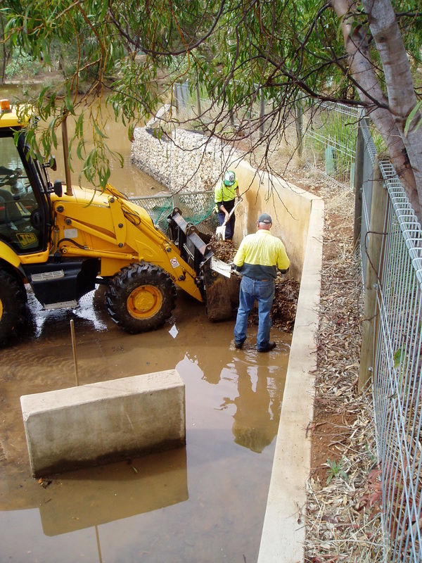
Trashrack Waste Removal
The City of Mitcham are responsible for the removal of waste in the trashracks. This is completed on a needs basis.
Part of the studies undertaken by Urrbrae Agricultural High School students is to investigate the sedimentation and erosion rates along specific transects in the Wetland. Using this information they are able to construct a depth profile (graph) and calculate the sedimentation and erosion rates.